UN
7 Adstone Avenue
£ 78,000
Description
We don't have a Description for this property.
- Bedrooms
- 3
- Bathrooms
- 0
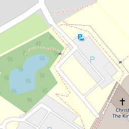

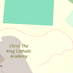

Leaflet © OpenStreetMap contributors
The heatmap indicates the level of crime in the area. The color of the heatmap indicates the crime severity and recency.
Metrics Year-on-Year
- Average area value
- 339,299.00 £Increased by 1.34 %
- Average area rental value
- 1,364.00 £/moIncreased by 34.92 %
- Est rental Yield
- 4.82 %Increased by 33.15 %
- Crime Rate
- 19.00 %Unchanged by 0.00 %
from 334,823.00 £
from 1,011.00 £/mo
from 3.62 %
from 19.00 %
Nearby Schools
| Name | Type | Ofsted | Distance |
|---|---|---|---|
| Grange Park Children'S Centre | Children's Centre | 0.16 KM | |
| Christ The King Catholic Academy | Academy Converter | Good | 0.22 KM |
| St Mary'S Catholic Academy | Academy Converter | Good | 0.24 KM |
| Boundary Primary School | Community School | Good | 0.41 KM |
| Layton Primary School | Community School | Outstanding | 0.62 KM |
Images
Nearby Streets
| Name | Average Price | Average Sqft | Distance |
|---|---|---|---|
| Four Lane Ends | £ 0 | 0 | 0.00 KM |
| Saint Walburgas Road | £ 0 | 0 | 0.00 KM |
| Regency Court | £ 0 | 0 | 0.00 KM |
| Parkway | £ 0 | 0 | 0.00 KM |
| Leyfield Close | £ 164,950 | 0 | 0.00 KM |
Nearby Transport
| Name | NLC | TLC | Distance |
|---|---|---|---|
| Layton (Lancs) | 2669 | LAY | 1.14 KM |
| Blackpool North | 2739 | BPN | 3.11 KM |
| Poulton-Le-Fylde | 2671 | PFY | 4.10 KM |
| Blackpool South | 2740 | BPS | 4.48 KM |
| Blackpool Pleasure Beach | 2738 | BPB | 5.75 KM |
Nearby Listings
| Address | Price | Type | Score | Distance |
|---|---|---|---|---|
| Hockley Place, Blackpool, FY3 7NY | £ 49,950 | BUY | 7 / 10 | 0.15 KM |
| Dingle Avenue, Blackpool, Lancashire, FY3 | £ 150,000 | BUY | 7 / 10 | 0.15 KM |
| Hockley Place, Blackpool | £ 145,000 | BUY | 7 / 10 | 0.22 KM |
| St Walburgas Road, Blackpool | £ 229,950 | BUY | 6 / 10 | 0.32 KM |
| Chepstow Road, Blackpool | £ 110,000 | BUY | 6 / 10 | 0.33 KM |
Nearby Properties
| Address | Price | Distance |
|---|---|---|
| 7 Adstone Avenue | £ 78,000 | 0.00 KM |
| 14 Adstone Avenue | £ 88,500 | 0.00 KM |
| 25 Adstone Avenue | £ 59,000 | 0.01 KM |
| 11 Adstone Avenue | £ 102,500 | 0.01 KM |
| 18 Adstone Avenue | £ 45,000 | 0.01 KM |